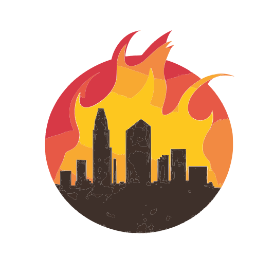
As wildfire threats continue to escalate, cities are turning to innovative technologies to enhance early detection, response, and mitigation efforts. From remote cameras to drone surveillance, modern solutions are transforming urban wildfire management.
Remote Camera and Sensor Monitoring
One of the most effective advancements in wildfire detection is the use of remote cameras and sensor networks. High-resolution cameras positioned in wildfire-prone areas continuously monitor landscapes for signs of smoke or fire. These systems are often integrated with artificial intelligence (AI) to detect anomalies and alert emergency responders before flames spread uncontrollably. Additionally, air quality and temperature sensors can track environmental conditions, providing valuable data for predicting fire risks and improving readiness.
Brin in the Drones
Drones are revolutionizing wildfire management by offering real-time aerial surveillance and rapid assessment capabilities. Equipped with thermal imaging cameras, drones can detect heat signatures that indicate potential fires, even before they become visible to the human eye. They also play a crucial role in monitoring fire progression, guiding evacuation efforts, and assessing damage in areas too dangerous for ground crews to access.
AI-Powered Early Warning Systems
Artificial intelligence is increasingly being used to analyze historical wildfire data, weather patterns, and satellite imagery to predict and identify fire risks. AI-driven platforms can issue automated alerts to emergency services and residents, providing critical lead time for evacuations and containment strategies.
Satellite-Based Fire Tracking
Satellites equipped with infrared sensors and real-time mapping capabilities are enabling governments and firefighting agencies to track wildfires as they develop. These systems help in assessing fire intensity, movement patterns, and potential impact zones, allowing for more efficient resource allocation.